Articles | Volume 19, issue 20
https://doi.org/10.5194/amt-19-6805-2026
Research article
 | 
28 Oct 2026
Research article |  | 28 Oct 2026

A blue-band surface residual correction method for land aerosol optical depth retrieval from DQ-1 WSI

Jingxuan Zhao, Yujing Wang, Hui Chen, Mengjie Zhang, Lili Wang, Xingchuan Yang, Shuo Dong, Wenji Zhao, and Pengfei Ma

Related authors

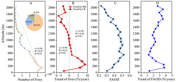
Elevational dependence of global forest fires and associated aerosol optical depth: drivers and decoupling
Qiaomin Pei, Chuanfeng Zhao, Xing Yan, Xingchuan Yang, Annan Chen, and Xin Wan
Atmos. Chem. Phys., 26, 5697–5711, https://doi.org/10.5194/acp-26-5697-2026,https://doi.org/10.5194/acp-26-5697-2026, 2026
Short summary
High-precision 3D Modeling of Construction Waste Pile Bodies by Integrating Multi-source Data
Leyan Shi, Wenji Zhao, Yanhui Wang, and Xing Yan
Int. Arch. Photogramm. Remote Sens. Spatial Inf. Sci., XLVIII-4-2024, 423–429, https://doi.org/10.5194/isprs-archives-XLVIII-4-2024-423-2024,https://doi.org/10.5194/isprs-archives-XLVIII-4-2024-423-2024, 2024
MULTI-DIMENSIONAL POVERTY IDENTIFICATION AND EVOLUTION ANALYSIS IN HEBEI PROVINCE BASED ON NIGHTTIME LIGHT REMOTE SENSING DATA
Y. Sun, Y. Wang, X. Feng, Z. Gong, F. Duan, and W. Zhao
Int. Arch. Photogramm. Remote Sens. Spatial Inf. Sci., XLVIII-1-W2-2023, 573–579, https://doi.org/10.5194/isprs-archives-XLVIII-1-W2-2023-573-2023,https://doi.org/10.5194/isprs-archives-XLVIII-1-W2-2023-573-2023, 2023
A FULLY CONNECTED CHANGE DETECTION METHOD OF SAR IMAGES FUSING ORIGINAL IMAGE FEATURES AND CHANGE DETECTION RESULTS
Z. Sun, F. Duan, H. Guan, F. Yang, Y. Wang, and W. Zhao
Int. Arch. Photogramm. Remote Sens. Spatial Inf. Sci., XLVIII-1-W2-2023, 1271–1280, https://doi.org/10.5194/isprs-archives-XLVIII-1-W2-2023-1271-2023,https://doi.org/10.5194/isprs-archives-XLVIII-1-W2-2023-1271-2023, 2023
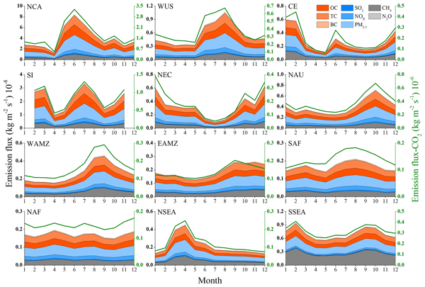
Spatiotemporal variation characteristics of global fires and their emissions
Hao Fan, Xingchuan Yang, Chuanfeng Zhao, Yikun Yang, and Zhenyao Shen
Atmos. Chem. Phys., 23, 7781–7798, https://doi.org/10.5194/acp-23-7781-2023,https://doi.org/10.5194/acp-23-7781-2023, 2023
Short summary

Cited articles

Bilal, M., Qiu, Z., and Lu, X.: A simplified high resolution MODIS Aerosol Retrieval Algorithm (SARA) for use over mixed surfaces, Remote Sens. Environ., 136, 135–145, https://doi.org/10.1016/j.rse.2013.04.014, 2013. 
Breiman, L.: Random forests, Mach. Learn., 45, 5–32, https://doi.org/10.1023/A:1010933404324, 2001. 
Cao, J.: Geometric calibration of the whiskbroom DaQi-1 WSI based on an equivalent linear-array CCD, IEEE T. Geosci. Remote, 61, 5616713, https://doi.org/10.1109/TGRS.2023.3300013, 2023. 
Che, H., Xia, X., Zhu, J., Wang, H., Wang, Y., Sun, J., Zhang, X., and Shi, G.: Aerosol optical properties under the condition of heavy haze over an urban site of Beijing, China, Environ. Sci. Pollut. R., 22, 1043–1053, https://doi.org/10.1007/s11356-014-3415-5, 2015. 
Christensen, M. W., Neubauer, D., Poulsen, C. A., Thomas, G. E., McGarragh, G. R., Povey, A. C., Proud, S. R., and Grainger, R. G.: Unveiling aerosol–cloud interactions – Part 1: Cloud contamination in satellite products enhances the aerosol indirect forcing estimate, Atmos. Chem. Phys., 17, 13151–13164, https://doi.org/10.5194/acp-17-13151-2017, 2017. 
Download
Short summary
Satellite estimates of airborne particles can be inaccurate when light reflected by land is poorly estimated. We developed a method for China's DaQi-1 satellite that uses machine learning to correct this land signal while retaining a physics-based calculation. Comparisons with ground observations showed reduced errors in spring and autumn–winter. The method also reduced errors the following spring without retraining, suggesting more reliable monitoring over complex land surfaces.
Share
Altmetrics
Final-revised paper
Preprint