
Articles | Volume 19, issue 19
https://doi.org/10.5194/amt-19-6327-2026
© Author(s) 2026. This work is distributed under
the Creative Commons Attribution 4.0 License.
the Creative Commons Attribution 4.0 License.
https://doi.org/10.5194/amt-19-6327-2026
© Author(s) 2026. This work is distributed under
the Creative Commons Attribution 4.0 License.
the Creative Commons Attribution 4.0 License.
Research article
| 
06 Oct 2026
Research article |
| 06 Oct 2026
| 06 Oct 2026
Estimating beam pointing of vertically pointing cloud radars using radiosonde measurements

Brookhaven National Laboratory, Upton, New York, USA
Scott E. Giangrande
Brookhaven National Laboratory, Upton, New York, USA
Adam K. Theisen
Argonne National Laboratory, Lemont, Illinois, USA
Karen L. Johnson
Brookhaven National Laboratory, Upton, New York, USA
Iosif A. Lindenmaier
Pacific Northwest National Laboratory, Richland, Washington, USA
Timothy G. Wendler
Pacific Northwest National Laboratory, Richland, Washington, USA
Jennifer Comstock
Pacific Northwest National Laboratory, Richland, Washington, USA
Marquette Rocque
Pacific Northwest National Laboratory, Richland, Washington, USA
Brookhaven National Laboratory, Upton, New York, USA
Alyssa Matthews
Pacific Northwest National Laboratory, Richland, Washington, USA
Related authors
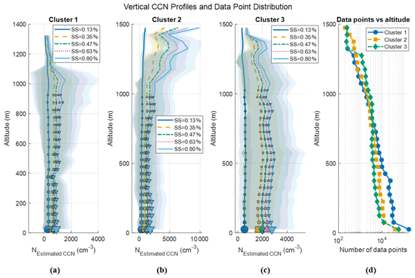
Fan Mei, Jian Wang, Israel Silber, Nurun Nahar Lata, Gregory W. Vandergrift, Jing Li, Bo Chen, Sarah D. Brooks, Michael P. Jensen, Min Deng, Damao Zhang, Darielle Dexheimer, Beat Schmid, Zezhen Cheng, and Swarup China
Atmos. Chem. Phys., 26, 13885–13908, https://doi.org/10.5194/acp-26-13885-2026, https://doi.org/10.5194/acp-26-13885-2026, 2026
Short summary
Short summary
Tethered balloon measurements from 149 flights during DOE ARM TRACER over Houston characterize vertical aerosol and CCN structure. Back-trajectory clustering identifies three air mass types – marine, mixed, and urban – with distinct profiles shaped by boundary-layer depth and coastal circulations. A case study shows mesoscale advection simultaneously transforms thermodynamic and aerosol conditions, underscoring the need to constrain meteorology before attributing cloud changes to aerosol forcing.
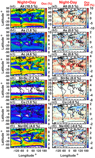
Kang Yang, Zhien Wang, and Min Deng
Atmos. Chem. Phys., 26, 13319–13339, https://doi.org/10.5194/acp-26-13319-2026, https://doi.org/10.5194/acp-26-13319-2026, 2026
Short summary
Short summary
Mixed-phase clouds, which contain both ice crystals and supercooled liquid droplets, strongly influence Earth's radiation budget but remain difficult to represent in climate models. Using global satellite observations, we show that they vary greatly by cloud type, with distinct spatial distributions, vertical structures, and seasonal and surface contrasts. These results provide new observational constraints for improving model representation of mixed-phase clouds.
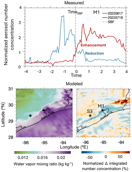
Tamanna Subba, Michael P. Jensen, Min Deng, Scott E. Giangrande, Mark C. Harvey, Ashish Singh, Die Wang, Maria Zawadowicz, and Chongai Kuang
Atmos. Chem. Phys., 26, 2853–2879, https://doi.org/10.5194/acp-26-2853-2026, https://doi.org/10.5194/acp-26-2853-2026, 2026
Short summary
Short summary
Using TRacking Aerosol Convection Interactions Experiment field campaign observations and model simulations, we studied summertime sea-breeze events in southern Texas. When sea-breeze fronts moved inland, they mixed marine and continental air, changing aerosol concentrations by up to a factor of two as far as 50 km inland. The sea breeze also reduced the number of particles that can form cloud droplets, highlighting the connection between coastal meteorology and aerosol-cloud interactions.
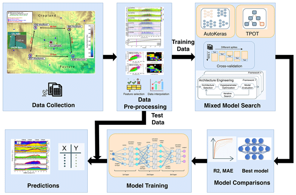
Yufei Chu, Guo Lin, Min Deng, Lulin Xue, Weiwei Li, Hyeyum Hailey Shin, Jun A. Zhang, Hanqing Guo, and Zhien Wang
Atmos. Chem. Phys., 26, 1415–1434, https://doi.org/10.5194/acp-26-1415-2026, https://doi.org/10.5194/acp-26-1415-2026, 2026
Short summary
Short summary
We developed a new machine learning approach to estimate the height of the mixing layer in the lower atmosphere, which is important for predicting weather and air quality. By using daily temperature and heat patterns, the model learns how the atmosphere changes throughout the day. It gives accurate results across different locations and seasons, helping improve future climate and weather forecasts through better understanding of surface–atmosphere interactions.
Min Deng, Scott E. Giangrande, Michael P. Jensen, Karen Johnson, Christopher R. Williams, Jennifer M. Comstock, Ya-Chien Feng, Alyssa Matthews, Iosif A. Lindenmaier, Timothy G. Wendler, Marquette Rocque, Aifang Zhou, Zeen Zhu, Edward Luke, and Die Wang
Atmos. Meas. Tech., 18, 1641–1657, https://doi.org/10.5194/amt-18-1641-2025, https://doi.org/10.5194/amt-18-1641-2025, 2025
Short summary
Short summary
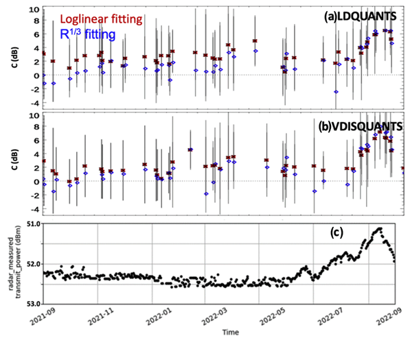
A relative calibration technique is developed for the cloud radar by monitoring the intercept of the wet-radome attenuation log-linear behavior as a function of rainfall rates in light and moderate rain conditions. This resulting reflectivity offset during the recent field campaign is compared favorably with the traditional disdrometer comparison near the rain onset, while it also demonstrates similar trends with respect to collocated and independently calibrated reference radars.
Jingting Huang, S. Marcela Loría-Salazar, Min Deng, Jaehwa Lee, and Heather A. Holmes
Atmos. Chem. Phys., 24, 3673–3698, https://doi.org/10.5194/acp-24-3673-2024, https://doi.org/10.5194/acp-24-3673-2024, 2024
Short summary
Short summary
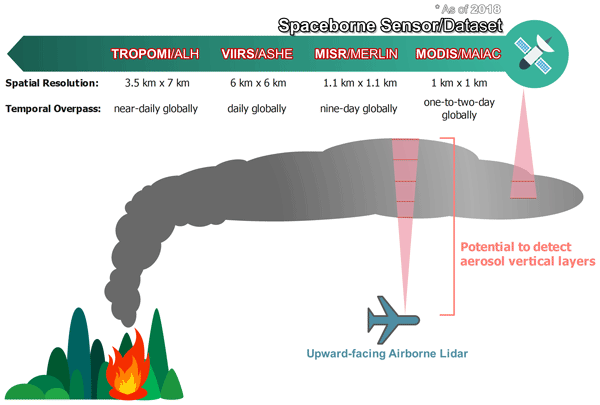
Increased wildfire intensity has resulted in taller wildfire smoke plumes. We investigate the vertical structure of wildfire smoke plumes using aircraft lidar data and establish two effective smoke plume height metrics. Four novel satellite-based plume height products are evaluated for wildfires in the western US. Our results provide guidance on the strengths and limitations of these satellite products and set the stage for improved plume rise estimates by leveraging satellite products.
Fan Mei, Jian Wang, Israel Silber, Nurun Nahar Lata, Gregory W. Vandergrift, Jing Li, Bo Chen, Sarah D. Brooks, Michael P. Jensen, Min Deng, Damao Zhang, Darielle Dexheimer, Beat Schmid, Zezhen Cheng, and Swarup China
Atmos. Chem. Phys., 26, 13885–13908, https://doi.org/10.5194/acp-26-13885-2026, https://doi.org/10.5194/acp-26-13885-2026, 2026
Short summary
Short summary
Tethered balloon measurements from 149 flights during DOE ARM TRACER over Houston characterize vertical aerosol and CCN structure. Back-trajectory clustering identifies three air mass types – marine, mixed, and urban – with distinct profiles shaped by boundary-layer depth and coastal circulations. A case study shows mesoscale advection simultaneously transforms thermodynamic and aerosol conditions, underscoring the need to constrain meteorology before attributing cloud changes to aerosol forcing.
Scott E. Giangrande, Christopher R. Williams, and Alain Protat
Atmos. Meas. Tech., 19, 6251–6265, https://doi.org/10.5194/amt-19-6251-2026, https://doi.org/10.5194/amt-19-6251-2026, 2026
Short summary
Short summary
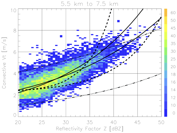
Better characterization of precipitation characteristics has important implications for simulated storm behaviors and remotely-sensed retrievals of cloud intensity. We use a unique radar technique to estimate the fall speeds of media found within deep tropical clouds. These retrievals can be performed within intense storm conditions that are otherwise impractical to sample. Our observations suggest mixed media or graupel fall speeds are contextually faster than prior references.
Kang Yang, Zhien Wang, and Min Deng
Atmos. Chem. Phys., 26, 13319–13339, https://doi.org/10.5194/acp-26-13319-2026, https://doi.org/10.5194/acp-26-13319-2026, 2026
Short summary
Short summary
Mixed-phase clouds, which contain both ice crystals and supercooled liquid droplets, strongly influence Earth's radiation budget but remain difficult to represent in climate models. Using global satellite observations, we show that they vary greatly by cloud type, with distinct spatial distributions, vertical structures, and seasonal and surface contrasts. These results provide new observational constraints for improving model representation of mixed-phase clouds.
Israel Silber, Donna M. Flynn, Jennifer M. Comstock, Erol L. Cromwell, and Brian D. Ermold
Atmos. Meas. Tech., 19, 5457–5474, https://doi.org/10.5194/amt-19-5457-2026, https://doi.org/10.5194/amt-19-5457-2026, 2026
Short summary
Short summary
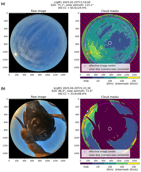
We describe ASISKYCOVER, a new machine learning algorithm for pixel segmentation of all-sky imager (ASI-16) data used by the Atmospheric Radiation Measurement (ARM) User Facility. ASISKYCOVER provides cloud cover and thickness estimates, detects artifacts, and reports uncertainties. Using one year of data from the ARM Southern Great Plains site and comparisons with other ARM datasets, we demonstrate its use and robustness, which will improve cloud cover analyses and data evaluation efforts.
Jingjing Tian, Gourihar Kulkarni, Jennifer M. Comstock, John E. Shilling, Damao Zhang, Peng Wu, and Fan Mei
Atmos. Meas. Tech., 19, 5051–5069, https://doi.org/10.5194/amt-19-5051-2026, https://doi.org/10.5194/amt-19-5051-2026, 2026
Short summary
Short summary
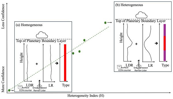
Cloud condensation nuclei are tiny particles that attract water vapor and help form clouds. A ground-based lidar method can estimate their number at different heights, but assumes the aerosol type does not change with height. Comparisons with aircraft data show good agreement of this method when aerosols are well mixed, but larger errors when stacked layers occur. We also developed an index to flag these complex conditions and indicate when this estimation method is more reliable.
Jessie M. Creamean, Darielle Dexheimer, Carson C. Hume, Maria Vazquez, Benjamin T. M. Hess, Casey M. Longbottom, Carlos A. Ruiz, and Adam K. Theisen
Atmos. Meas. Tech., 19, 4601–4615, https://doi.org/10.5194/amt-19-4601-2026, https://doi.org/10.5194/amt-19-4601-2026, 2026
Short summary
Short summary
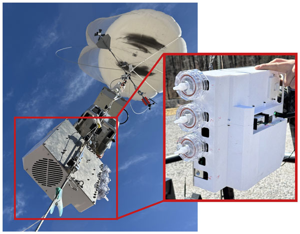
PUFIN (Profiling Upper altitudes For Ice Nucleation) is a lightweight sampler flown on the U.S. Department of Energy’s Atmospheric Radiation Measurement user facility’s tethered balloons to measure ice nucleating particles at multiple altitudes. Deployments in Maryland and Alabama show it can detect low concentrations in under an hour and capture changes with height. All data are publicly available, and future flights will help track seasonal and vertical patterns of these unique particles.
Florian Poydenot, Nina Robbins-Blanch, Zeen Zhu, and Raphaela Vogel
EGUsphere, https://doi.org/10.5194/egusphere-2026-1974, https://doi.org/10.5194/egusphere-2026-1974, 2026
Short summary
Short summary
Trade wind cumuli often rain, which produces downward motion of the surrounding air as the raindrops evaporate. However, we do not understand well what controls this due to a lack of observations inside raining clouds. We use a combination of radar and lidar to obtain the vertical wind for six years at the Barbados Cloud Observatory. We show that trade wind cumuli are organized in similar ways to storms. These observations can help us design better models of clouds used to study the climate.
Tamanna Subba, Michael P. Jensen, Min Deng, Scott E. Giangrande, Mark C. Harvey, Ashish Singh, Die Wang, Maria Zawadowicz, and Chongai Kuang
Atmos. Chem. Phys., 26, 2853–2879, https://doi.org/10.5194/acp-26-2853-2026, https://doi.org/10.5194/acp-26-2853-2026, 2026
Short summary
Short summary
Using TRacking Aerosol Convection Interactions Experiment field campaign observations and model simulations, we studied summertime sea-breeze events in southern Texas. When sea-breeze fronts moved inland, they mixed marine and continental air, changing aerosol concentrations by up to a factor of two as far as 50 km inland. The sea breeze also reduced the number of particles that can form cloud droplets, highlighting the connection between coastal meteorology and aerosol-cloud interactions.
Yufei Chu, Guo Lin, Min Deng, Lulin Xue, Weiwei Li, Hyeyum Hailey Shin, Jun A. Zhang, Hanqing Guo, and Zhien Wang
Atmos. Chem. Phys., 26, 1415–1434, https://doi.org/10.5194/acp-26-1415-2026, https://doi.org/10.5194/acp-26-1415-2026, 2026
Short summary
Short summary
We developed a new machine learning approach to estimate the height of the mixing layer in the lower atmosphere, which is important for predicting weather and air quality. By using daily temperature and heat patterns, the model learns how the atmosphere changes throughout the day. It gives accurate results across different locations and seasons, helping improve future climate and weather forecasts through better understanding of surface–atmosphere interactions.
Israel Silber, Jennifer M. Comstock, Adam K. Theisen, Michael R. Kieburtz, Zeen Zhu, and Jenni Kyrouac
Atmos. Meas. Tech., 19, 485–506, https://doi.org/10.5194/amt-19-485-2026, https://doi.org/10.5194/amt-19-485-2026, 2026
Short summary
Short summary
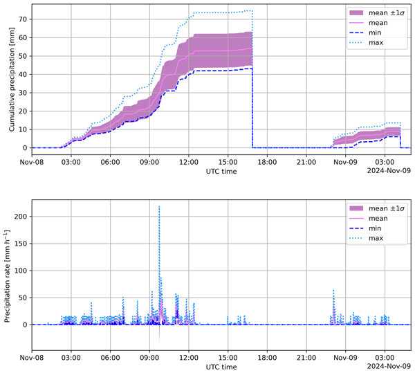
We present PrecipBE, a multi-instrument precipitation event best-estimate data product developed at the Atmospheric Radiation Measurement (ARM) User Facility, providing time series and tabular statistics of events, which could help advance model evaluation and cloud-process studies. We demonstrate PrecipBE's utilization with a brief 30-year trend analysis of ARM Southern Great Plains (SGP) site data, suggesting shorter, less intense events, but rising annual rainfall, driven by rare extremes.
Zeen Zhu, Fan Yang, Steven Krueger, and Yangang Liu
Atmos. Chem. Phys., 25, 18461–18474, https://doi.org/10.5194/acp-25-18461-2025, https://doi.org/10.5194/acp-25-18461-2025, 2025
Short summary
Short summary
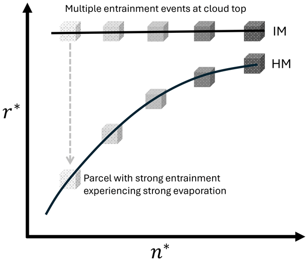
To better understand cloud behavior, we used model simulation to study how the air mix in clouds. Our results show that the pattern of mixing seen from aircraft measurements may not reflect the true mixing process happening inside clouds. This result suggests that care is needed when using aircraft data to study the cloud mixing process and that new ways of observing clouds could offer clearer insights.
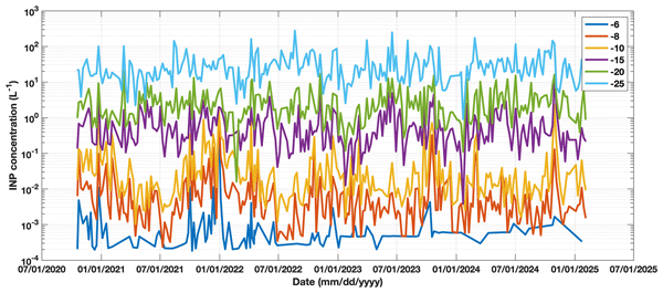
Jessie M. Creamean, Carson C. Hume, Maria Vazquez, and Adam Theisen
Earth Syst. Sci. Data, 17, 6943–6963, https://doi.org/10.5194/essd-17-6943-2025, https://doi.org/10.5194/essd-17-6943-2025, 2025
Short summary
Short summary
This study presents a comprehensive, publicly available ice nucleating particles (INP) dataset from the U.S. Department of Energy Atmospheric Radiation Measurement (ARM) user facility across diverse environments, including Arctic, agricultural, urban, marine, and mountainous sites. Samples are collected via fixed and mobile platforms and processed using a standardized pipeline. The dataset supports observational and modelling analyses of seasonal, spatial, and compositional variability in INPs.
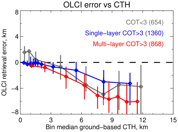
Andrew M. Sayer, Brian Cairns, Kirk D. Knobelspiesse, Luca Lelli, Chamara Rajapakshe, Scott E. Giangrande, Gareth E. Thomas, and Damao Zhang
Atmos. Meas. Tech., 18, 6681–6703, https://doi.org/10.5194/amt-18-6681-2025, https://doi.org/10.5194/amt-18-6681-2025, 2025
Short summary
Short summary
Satellites can estimate cloud height in several ways: two include a thermal technique (colder clouds being higher up), and another looking at colours of light that oxygen in the atmosphere absorbs (darker clouds being lower down). It can also be measured (from ground or space) by radar and lidar. We compare satellite data we developed using the oxygen method with other estimates to help us refine our technique.
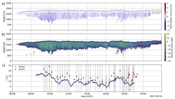
Kaiden Sookdar, Scott E. Giangrande, John Rausch, Lihong Ma, Meng Wang, Dié Wang, Michael P. Jensen, Ching-Shu Hung, and J. Christine Chiu
Atmos. Meas. Tech., 18, 6271–6289, https://doi.org/10.5194/amt-18-6271-2025, https://doi.org/10.5194/amt-18-6271-2025, 2025
Short summary
Short summary
Photometer observations of stratocumulus cloud properties are evaluated for a multiyear archive. Retrievals for cloud optical depth, cloud droplet effective radius, and liquid water path show solid agreement with collocated references. Continental stratocumulus clouds sorted by cloud thickness indicate double the cloud optical depth and liquid water path of their marine counterparts, while exhibiting similar bulk cloud droplet effective radius.
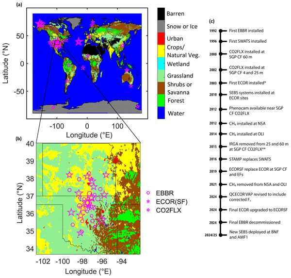
Ryan C. Sullivan, David P. Billesbach, Sebastien Biraud, Stephen Chan, Richard Hart, Evan Keeler, Jenni Kyrouac, Sujan Pal, Mikhail Pekour, Sara L. Sullivan, Adam Theisen, Matt Tuftedal, and David R. Cook
Earth Syst. Sci. Data, 17, 5007–5038, https://doi.org/10.5194/essd-17-5007-2025, https://doi.org/10.5194/essd-17-5007-2025, 2025
Short summary
Short summary
Turbulent fluxes quantify the exchange of energy, water, or trace gases into and out of the atmosphere. The U.S. Department of Energy Atmospheric Radiation Measurement user facility has been making atmospheric measurements since the early 1990s, including measurements of turbulent fluxes using two well-established methods: the energy balance Bowen ratio and eddy covariance. This paper documents key aspects of these datasets, including their history, changes through time, and best use practices.

Damao Zhang, Jennifer Comstock, Chitra Sivaraman, Kefei Mo, Raghavendra Krishnamurthy, Jingjing Tian, Tianning Su, Zhanqing Li, and Natalia Roldán-Henao
Atmos. Meas. Tech., 18, 3453–3475, https://doi.org/10.5194/amt-18-3453-2025, https://doi.org/10.5194/amt-18-3453-2025, 2025
Short summary
Short summary
Planetary boundary layer height (PBLHT) is an important parameter in atmospheric process studies and numerical model simulations. We use machine learning methods to produce a best-estimate planetary boundary layer height (PBLHT-BE-ML) by integrating four PBLHT estimates derived from remote sensing measurements. We demonstrated that PBLHT-BE-ML greatly improved the comparisons against sounding-derived PBLHT.
Min Deng, Scott E. Giangrande, Michael P. Jensen, Karen Johnson, Christopher R. Williams, Jennifer M. Comstock, Ya-Chien Feng, Alyssa Matthews, Iosif A. Lindenmaier, Timothy G. Wendler, Marquette Rocque, Aifang Zhou, Zeen Zhu, Edward Luke, and Die Wang
Atmos. Meas. Tech., 18, 1641–1657, https://doi.org/10.5194/amt-18-1641-2025, https://doi.org/10.5194/amt-18-1641-2025, 2025
Short summary
Short summary
A relative calibration technique is developed for the cloud radar by monitoring the intercept of the wet-radome attenuation log-linear behavior as a function of rainfall rates in light and moderate rain conditions. This resulting reflectivity offset during the recent field campaign is compared favorably with the traditional disdrometer comparison near the rain onset, while it also demonstrates similar trends with respect to collocated and independently calibrated reference radars.
Israel Silber, Jennifer M. Comstock, Michael R. Kieburtz, and Lynn M. Russell
Earth Syst. Sci. Data, 17, 29–42, https://doi.org/10.5194/essd-17-29-2025, https://doi.org/10.5194/essd-17-29-2025, 2025
Short summary
Short summary
We present ARMTRAJ, a set of multipurpose trajectory datasets, which augments cloud, aerosol, and boundary layer studies utilizing the U.S. Department of Energy Atmospheric Radiation Measurement (ARM) user facility data. ARMTRAJ data include ensemble run statistics that enhance consistency and serve as uncertainty metrics for air mass coordinates and state variables. ARMTRAJ will soon become a near real-time product that will accompany past, ongoing, and future ARM deployments.
Fan Mei, Jennifer M. Comstock, Mikhail S. Pekour, Jerome D. Fast, Krista L. Gaustad, Beat Schmid, Shuaiqi Tang, Damao Zhang, John E. Shilling, Jason M. Tomlinson, Adam C. Varble, Jian Wang, L. Ruby Leung, Lawrence Kleinman, Scot Martin, Sebastien C. Biraud, Brian D. Ermold, and Kenneth W. Burk
Earth Syst. Sci. Data, 16, 5429–5448, https://doi.org/10.5194/essd-16-5429-2024, https://doi.org/10.5194/essd-16-5429-2024, 2024
Short summary
Short summary
Our study explores a comprehensive dataset from airborne field studies (2013–2018) conducted using the US Department of Energy's Gulfstream 1 (G-1). The 236 flights span diverse regions, including the Arctic, US Southern Great Plains, US West Coast, eastern North Atlantic, Amazon Basin in Brazil, and Sierras de Córdoba range in Argentina. This dataset provides unique insights into atmospheric dynamics, aerosols, and clouds and makes data available in a more accessible format.
Toshi Matsui, Daniel Hernandez-Deckers, Scott E. Giangrande, Thiago S. Biscaro, Ann Fridlind, and Scott Braun
Atmos. Chem. Phys., 24, 10793–10814, https://doi.org/10.5194/acp-24-10793-2024, https://doi.org/10.5194/acp-24-10793-2024, 2024
Short summary
Short summary
Using computer simulations and real measurements, we discovered that storms over the Amazon were narrower but more intense during the dry periods, producing heavier rain and more ice particles in the clouds. Our research showed that cumulus bubbles played a key role in creating these intense storms. This study can improve the representation of the effect of continental and ocean environments on tropical regions' rainfall patterns in simulations.
Evgueni Kassianov, Connor J. Flynn, James C. Barnard, Brian D. Ermold, and Jennifer M. Comstock
Atmos. Meas. Tech., 17, 4997–5013, https://doi.org/10.5194/amt-17-4997-2024, https://doi.org/10.5194/amt-17-4997-2024, 2024
Short summary
Short summary
Conventional ground-based radiometers commonly measure solar radiation at a few wavelengths within a narrow spectral range. These limitations prevent improved retrievals of aerosol, cloud, and surface characteristics. To address these limitations, an advanced ground-based radiometer with expanded spectral coverage and hyperspectral capability is introduced. Its good performance is demonstrated using reference data collected over three coastal regions with diverse types of aerosols and clouds.
Kelly A. Balmes, Laura D. Riihimaki, John Wood, Connor Flynn, Adam Theisen, Michael Ritsche, Lynn Ma, Gary B. Hodges, and Christian Herrera
Atmos. Meas. Tech., 17, 3783–3807, https://doi.org/10.5194/amt-17-3783-2024, https://doi.org/10.5194/amt-17-3783-2024, 2024
Short summary
Short summary
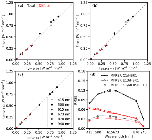
A new hyperspectral radiometer (HSR1) was deployed and evaluated in the central United States (northern Oklahoma). The HSR1 total spectral irradiance agreed well with nearby existing instruments, but the diffuse spectral irradiance was slightly smaller. The HSR1-retrieved aerosol optical depth (AOD) also agreed well with other retrieved AODs. The HSR1 performance is encouraging: new hyperspectral knowledge is possible that could inform atmospheric process understanding and weather forecasting.
Siddhant Gupta, Dié Wang, Scott E. Giangrande, Thiago S. Biscaro, and Michael P. Jensen
Atmos. Chem. Phys., 24, 4487–4510, https://doi.org/10.5194/acp-24-4487-2024, https://doi.org/10.5194/acp-24-4487-2024, 2024
Short summary
Short summary
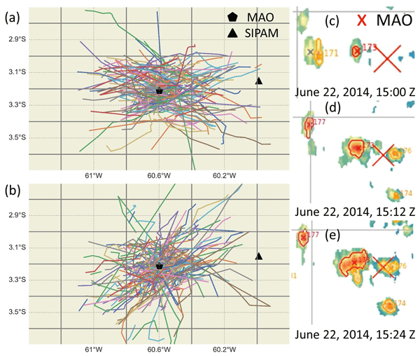
We examine the lifecycle of isolated deep convective clouds (DCCs) in the Amazon rainforest. Weather radar echoes from the DCCs are tracked to evaluate their lifecycle. The DCC size and intensity increase, reach a peak, and then decrease over the DCC lifetime. Vertical profiles of air motion and mass transport from different seasons are examined to understand the transport of energy and momentum within DCC cores and to address the deficiencies in simulating DCCs using weather and climate models.
Jingting Huang, S. Marcela Loría-Salazar, Min Deng, Jaehwa Lee, and Heather A. Holmes
Atmos. Chem. Phys., 24, 3673–3698, https://doi.org/10.5194/acp-24-3673-2024, https://doi.org/10.5194/acp-24-3673-2024, 2024
Short summary
Short summary
Increased wildfire intensity has resulted in taller wildfire smoke plumes. We investigate the vertical structure of wildfire smoke plumes using aircraft lidar data and establish two effective smoke plume height metrics. Four novel satellite-based plume height products are evaluated for wildfires in the western US. Our results provide guidance on the strengths and limitations of these satellite products and set the stage for improved plume rise estimates by leveraging satellite products.
Zeen Zhu, Fan Yang, Pavlos Kollias, Raymond A. Shaw, Alex B. Kostinski, Steve Krueger, Katia Lamer, Nithin Allwayin, and Mariko Oue
Atmos. Meas. Tech., 17, 1133–1143, https://doi.org/10.5194/amt-17-1133-2024, https://doi.org/10.5194/amt-17-1133-2024, 2024
Short summary
Short summary
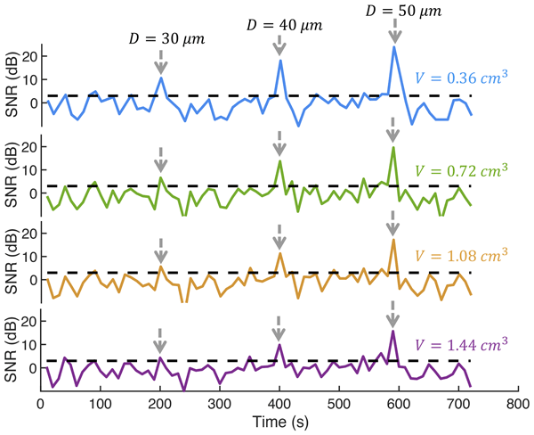
In this article, we demonstrate the feasibility of applying advanced radar technology to detect liquid droplets generated in the cloud chamber. Specifically, we show that using radar with centimeter-scale resolution, single drizzle drops with a diameter larger than 40 µm can be detected. This study demonstrates the applicability of remote sensing instruments in laboratory experiments and suggests new applications of ultrahigh-resolution radar for atmospheric sensing.
Yang Wang, Chanakya Bagya Ramesh, Scott E. Giangrande, Jerome Fast, Xianda Gong, Jiaoshi Zhang, Ahmet Tolga Odabasi, Marcus Vinicius Batista Oliveira, Alyssa Matthews, Fan Mei, John E. Shilling, Jason Tomlinson, Die Wang, and Jian Wang
Atmos. Chem. Phys., 23, 15671–15691, https://doi.org/10.5194/acp-23-15671-2023, https://doi.org/10.5194/acp-23-15671-2023, 2023
Short summary
Short summary
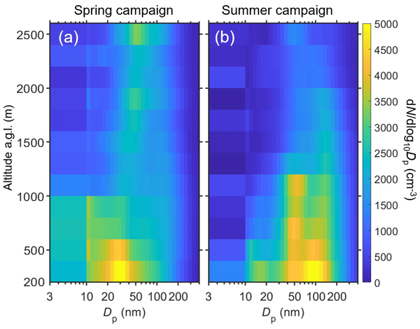
We report the vertical profiles of aerosol properties over the Southern Great Plains (SGP), a region influenced by shallow convective clouds, land–atmosphere interactions, boundary layer turbulence, and the aerosol life cycle. We examined the processes that drive the aerosol population and distribution in the lower troposphere over the SGP. This study helps improve our understanding of aerosol–cloud interactions and the model representation of aerosol processes.
Zeen Zhu, Pavlos Kollias, and Fan Yang
Atmos. Meas. Tech., 16, 3727–3737, https://doi.org/10.5194/amt-16-3727-2023, https://doi.org/10.5194/amt-16-3727-2023, 2023
Short summary
Short summary
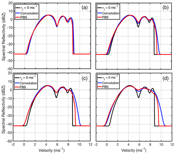
We show that large rain droplets, with large inertia, are unable to follow the rapid change of velocity field in a turbulent environment. A lack of consideration for this inertial effect leads to an artificial broadening of the Doppler spectrum from the conventional simulator. Based on the physics-based simulation, we propose a new approach to generate the radar Doppler spectra. This simulator provides a valuable tool to decode cloud microphysical and dynamical properties from radar observation.
Scott E. Giangrande, Thiago S. Biscaro, and John M. Peters
Atmos. Chem. Phys., 23, 5297–5316, https://doi.org/10.5194/acp-23-5297-2023, https://doi.org/10.5194/acp-23-5297-2023, 2023
Short summary
Short summary
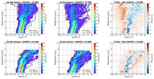
Our study tracks thunderstorms observed during the wet and dry seasons of the Amazon Basin using weather radar. We couple this precipitation tracking with opportunistic overpasses of a wind profiler and other ground observations to add unique insights into the upwards and downwards air motions within these clouds at various stages in the storm life cycle. The results of a simple updraft model are provided to give physical explanations for observed seasonal differences.
Christopher R. Williams, Joshua Barrio, Paul E. Johnston, Paytsar Muradyan, and Scott E. Giangrande
Atmos. Meas. Tech., 16, 2381–2398, https://doi.org/10.5194/amt-16-2381-2023, https://doi.org/10.5194/amt-16-2381-2023, 2023
Short summary
Short summary
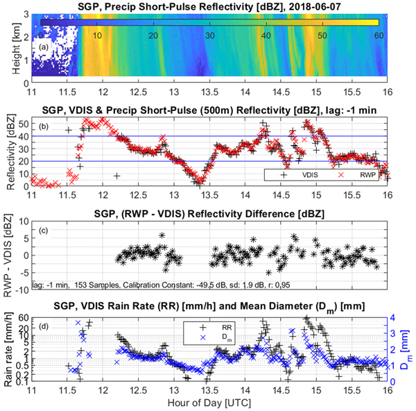
This study uses surface disdrometer observations to calibrate 8 years of 915 MHz radar wind profiler deployed in the central United States in northern Oklahoma. This study had two key findings. First, the radar wind profiler sensitivity decreased approximately 3 to 4 dB/year as the hardware aged. Second, this drift was slow enough that calibration can be performed using 3-month intervals. Calibrated radar wind profiler observations and Python processing code are available on public repositories.

Zackary Mages, Pavlos Kollias, Zeen Zhu, and Edward P. Luke
Atmos. Chem. Phys., 23, 3561–3574, https://doi.org/10.5194/acp-23-3561-2023, https://doi.org/10.5194/acp-23-3561-2023, 2023
Short summary
Short summary
Cold-air outbreaks (when cold air is advected over warm water and creates low-level convection) are a dominant cloud regime in the Arctic, and we capitalized on ground-based observations, which did not previously exist, from the COMBLE field campaign to study them. We characterized the extent and strength of the convection and turbulence and found evidence of secondary ice production. This information is useful for model intercomparison studies that will represent cold-air outbreak processes.
Damao Zhang, Jennifer Comstock, and Victor Morris
Atmos. Meas. Tech., 15, 4735–4749, https://doi.org/10.5194/amt-15-4735-2022, https://doi.org/10.5194/amt-15-4735-2022, 2022
Short summary
Short summary
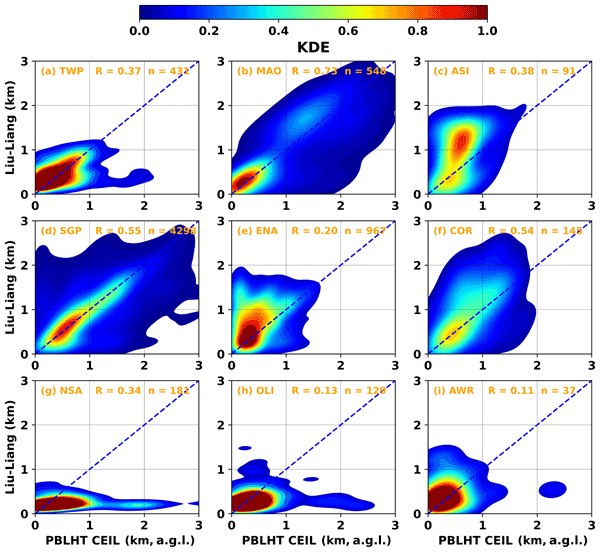
The planetary boundary layer is the lowest part of the atmosphere. Its structure and depth (PBLHT) significantly impact air quality, global climate, land–atmosphere interactions, and a wide range of atmospheric processes. To test the robustness of the ceilometer-estimated PBLHT under different atmospheric conditions, we compared ceilometer- and radiosonde-estimated PBLHTs using multiple years of U.S. DOE ARM measurements at various ARM observatories located around the world.

Zeen Zhu, Pavlos Kollias, Edward Luke, and Fan Yang
Atmos. Chem. Phys., 22, 7405–7416, https://doi.org/10.5194/acp-22-7405-2022, https://doi.org/10.5194/acp-22-7405-2022, 2022
Short summary
Short summary
Drizzle (small rain droplets) is an important component of warm clouds; however, its existence is poorly understood. In this study, we capitalized on a machine-learning algorithm to develop a drizzle detection method. We applied this algorithm to investigate drizzle occurrence and found out that drizzle is far more ubiquitous than previously thought. This study demonstrates the ubiquitous nature of drizzle in clouds and will improve understanding of the associated microphysical process.

Yun Lin, Jiwen Fan, Pengfei Li, Lai-yung Ruby Leung, Paul J. DeMott, Lexie Goldberger, Jennifer Comstock, Ying Liu, Jong-Hoon Jeong, and Jason Tomlinson
Atmos. Chem. Phys., 22, 6749–6771, https://doi.org/10.5194/acp-22-6749-2022, https://doi.org/10.5194/acp-22-6749-2022, 2022
Short summary
Short summary
How sea spray aerosols may affect cloud and precipitation over the region by acting as ice-nucleating particles (INPs) is unknown. We explored the effects of INPs from marine aerosols on orographic cloud and precipitation for an atmospheric river event observed during the 2015 ACAPEX field campaign. The marine INPs enhance the formation of ice and snow, leading to less shallow warm clouds but more mixed-phase and deep clouds. This work suggests models need to consider the impacts of marine INPs.
Cited articles
Atmospheric Radiation Measurement (ARM) user facility: Ka ARM Zenith Radar (KAZR), Atmospheric Radiation Measurement (ARM) user facility [data set], https://doi.org/10.5439/1984770, 2011.
Battaglia, A. and Kollias, P.: Using ice clouds for mitigating the EarthCARE Doppler radar mispointing, IEEE Trans. Geosci. Remote Sens., 53, 2079–2085, https://doi.org/10.1109/TGRS.2014.2353219, 2015.
Browning, K. A. and Wexler, R.: The determination of kinematic properties of a wind field using Doppler radar, J. Appl. Meteor., 7, 105–113, https://doi.org/10.1175/1520-0450(1968)007<0105:TDOKPO>2.0.CO;2, 1968.
Deng, M. and Mace, G. G.: Cirrus microphysical properties and air motion statistics using cloud radar Doppler moments. Part I: Algorithm description, J. Appl. Meteor. Climatol., 45, 1690–1709, https://doi.org/10.1175/JAM2433.1, 2006.
Deng, M. and Mace, G. G.: Cirrus cloud microphysical properties and air motion statistics using cloud radar Doppler moments: Water content, particle size, and sedimentation relationships, Geophys. Res. Lett., 35, L17808, https://doi.org/10.1029/2008GL035054, 2008a.
Deng, M. and Mace, G. G.: Cirrus microphysical properties and air motion statistics using cloud radar Doppler moments. Part II: Climatology, J. Appl. Meteor. Climatol., 47, 3221–3235, https://doi.org/10.1175/2008JAMC1949.1, 2008b.
Dirksen, R. J., Sommer, M., Immler, F. J., Hurst, D. F., Kivi, R., and Vömel, H.: Reference quality upper-air measurements: GRUAN data processing for the Vaisala RS92 radiosonde, Atmos. Meas. Tech., 7, 4463–4490, https://doi.org/10.5194/amt-7-4463-2014, 2014.
Doviak, R. J. and Zrnić, D. S.: Doppler Radar and Weather Observations, 2nd edn., Academic Press, San Diego, CA, USA, 562 pp., https://doi.org/10.1016/C2009-0-22358-0, 1993.
Giangrande, S. E., Luke, E. P., and Kollias, P.: Automated retrievals of precipitation parameters using non-Rayleigh scattering at 95 GHz, J. Atmos. Oceanic Technol., 27, 1490–1503, https://doi.org/10.1175/2010JTECHA1343.1, 2010.
Giangrande, S. E., Luke, E. P., and Kollias, P.: Characterization of vertical velocity and drop size distribution parameters in widespread precipitation at ARM facilities, J. Appl. Meteor. Climatol., 51, 380–391, https://doi.org/10.1175/JAMC-D-10-05000.1, 2012.
Haimov, S. and Rodi, A.: Fixed-antenna pointing-angle calibration of airborne Doppler cloud radar, J. Atmos. Oceanic Technol., 30, 2320–2335, https://doi.org/10.1175/JTECH-D-12-00262.1, 2013.
Kalesse, H. and Kollias, P.: Climatology of high cloud dynamics using profiling ARM Doppler radar observations, J. Climate, 26, 6340–6359, https://doi.org/10.1175/JCLI-D-12-00695.1, 2013.
Keeler, E.: Balloon-Borne Sounding System (SONDE) Instrument Handbook, U.S. Department of Energy Atmospheric Radiation Measurement user facility, Richland, WA, USA, DOE/SC-ARM-TR-029, https://doi.org/10.2172/1020712, 2025.
Keeler, E., Burk, K., and Kyrouac, J.: Balloon-Borne Sounding System (SONDEWNPN), Atmospheric Radiation Measurement (ARM) user facility [data set], https://doi.org/10.5439/1595321, 2024.
Kollias, P., Albrecht, B. A., and Marks, F.: Why Mie? Accurate observations of vertical air velocities and raindrops using a cloud radar, Bull. Amer. Meteor. Soc., 83, 1471–1483, https://doi.org/10.1175/BAMS-83-10-1471, 2002.
Kollias, P., Clothiaux, E. E., Albrecht, B. A., Miller, M. A., Moran, K. P., and Johnson, K. L.: The Atmospheric Radiation Measurement Program cloud profiling radars: Second-generation sampling strategies, processing, and cloud data products, J. Atmos. Oceanic Technol., 24, 1199–1214, https://doi.org/10.1175/JTECH2033.1, 2007a.
Kollias, P., Clothiaux, E. E., Miller, M. A., Albrecht, B. A., Stephens, G. L., and Ackerman, T. P.: Millimeter-wavelength radars: New frontier in atmospheric cloud and precipitation research, Bull. Amer. Meteor. Soc., 88, 1608–1624, https://doi.org/10.1175/BAMS-88-10-1608, 2007b.
Kollias, P., Bharadwaj, N., Widener, K., Jo, I., and Johnson, K.: Scanning ARM cloud radars. Part I: Operational sampling strategies, J. Atmos. Oceanic Technol., 31, 569–582, https://doi.org/10.1175/JTECH-D-13-00044.1, 2014.
Kollias, P., Clothiaux, E. E., Ackerman, T. P., Albrecht, B. A., Bharadwaj, N., Mead, J. B., Miller, M. A., Verlinde, J., Marchand, R. T., and Mace, G. G.: Development and applications of ARM millimeter-wavelength cloud radars, Meteor. Monogr., 57, 17.1–17.19, https://doi.org/10.1175/AMSMONOGRAPHS-D-15-0037.1, 2016.
Kuang, C., Giangrande, S. E., Serbin, S. P., Campbell, P., Elsaesser, G. S., Gentine, P., Heus, T., Hickmon, N. L., Oue, M., Peters, J. M., Raghunathan, G. N., Ritsche, M. T., Smith, J. N., Spychala, M., Steiner, A. L., and Theisen, A.: The U.S. DOE ARM User Facility establishes a new site for studies of land–aerosol–cloud interactions in the southeastern United States, Bull. Amer. Meteor. Soc., 107, E1–E8, https://doi.org/10.1175/BAMS-D-25-0072.1, 2026.
Lhermitte, R. M.: Cloud and precipitation remote sensing at 94 GHz, IEEE Trans. Geosci. Remote Sens., 26, 207–216, https://doi.org/10.1109/36.3024, 1988.
Lindenmaier, I., Feng, Y.-C., Bharadwaj, N., Johnson, K., Isom, B., Hardin, J., Matthews, A., Wendler, T., Melo de Castro, V., and Rocque, M.: Marine W-Band (95 GHz) ARM Cloud Radar (MWACR), Atmospheric Radiation Measurement (ARM) user facility [data set], https://doi.org/10.5439/1973911, 2024.
Mather, J. H. and Voyles, J. W.: The ARM Climate Research Facility: A review of structure and capabilities, Bull. Amer. Meteor. Soc., 94, 377–392, https://doi.org/10.1175/BAMS-D-11-00218.1, 2013.
May, P. T. and Rajopadhyaya, D. K.: Vertical velocity characteristics of deep convection over Darwin, Australia, Mon. Weather Rev., 127, 1056–1071, https://doi.org/10.1175/1520-0493(1999)127<1056:VVCODC>2.0.CO;2, 1999.
Mitchell, D. L., Mishra, S., and Lawson, R. P.: Representing the ice fall speed in climate models: Results from Tropical Composition, Cloud and Climate Coupling (TC4) and the Indirect and Semi-Direct Aerosol Campaign (ISDAC), J. Geophys. Res.-Atmos., 116, D00T03, https://doi.org/10.1029/2010JD015433, 2011.
Moran, K. P., Martner, B. E., Post, M. J., Kropfli, R. A., Welsh, D. C., and Widener, K. B.: An unattended cloud-profiling radar for use in climate research, Bull. Amer. Meteor. Soc., 79, 443–455, https://doi.org/10.1175/1520-0477(1998)079<0443:AUCPRF>2.0.CO;2, 1998.
Nash, J., Oakley, T., Vömel, H., and Wei, L.: WMO Intercomparison of High Quality Radiosonde Systems, Yangjiang, China, 12 July–3 August 2010, Instruments and Observing Methods Report No. 107, WMO/TD-No. 1580, World Meteorological Organization, Geneva, Switzerland, 249 pp., https://library.wmo.int/idurl/4/50499 (last access: 14 August 2026), 2011.
Protat, A. and Williams, C. R.: The accuracy of radar estimates of ice terminal fall speed from vertically pointing Doppler radar measurements, J. Appl. Meteor. Climatol., 50, 2120–2138, https://doi.org/10.1175/JAMC-D-10-05031.1, 2011.
Seidel, D. J., Sun, B., Pettey, M., and Reale, A.: Global radiosonde balloon drift statistics, J. Geophys. Res.-Atmos., 116, D07102, https://doi.org/10.1029/2010JD014891, 2011.
Shupe, M. D., Kollias, P., Poellot, M., and Eloranta, E.: On deriving vertical air motions from cloud radar Doppler spectra, J. Atmos. Oceanic Technol., 25, 547–557, https://doi.org/10.1175/2007JTECHA1007.1, 2008.
Shupe, M. D., Comstock, J. M., Turner, D. D., and Mace, G. G.: Cloud property retrievals in the ARM Program, Meteor. Monogr., 57, 19.1–19.20, https://doi.org/10.1175/AMSMONOGRAPHS-D-15-0030.1, 2016.
Zhu, Z., Kollias, P., Yang, F., and Luke, E.: On the estimation of in-cloud vertical air motion using radar Doppler spectra, Geophys. Res. Lett., 48, e2020GL090682, https://doi.org/10.1029/2020GL090682, 2021.
Short summary
Cloud radars are used to measure air motion, clouds, and precipitation, but small pointing errors can reduce their accuracy. We developed a method to detect these errors using routine weather balloon observations. Tests with several radar systems in different environments showed that the method can identify small but important pointing biases, helping improve the accuracy and long-term consistency of weather and climate observations.
Cloud radars are used to measure air motion, clouds, and precipitation, but small pointing...


