the Creative Commons Attribution 4.0 License.
the Creative Commons Attribution 4.0 License.
 | 27 Jul 2022
A quadcopter unmanned aerial system (UAS)-based methodology for measuring biomass burning emission factors
Patrik Winiger
Martin Wooster
Tercia Strydom
Laurent Poulain
Ulrike Dusek
Mark Grosvenor
Gareth J. Roberts
Nick Schutgens
Guido R. van der Werf
Related authors
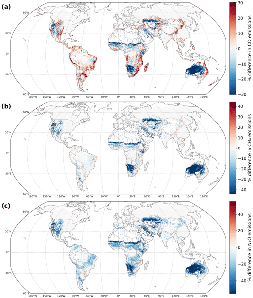
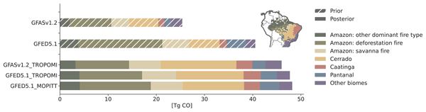
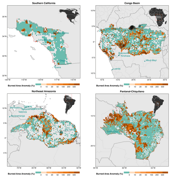
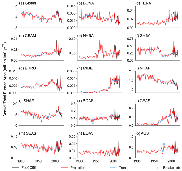
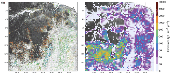
We estimate 2019 Brazilian fire carbon monoxide (CO) emissions using CO retrievals from multiple satellites in a new top-down inversion framework. The retrievals strongly constrain fire emissions and complement existing inventories. National-scale posterior emissions align well with the new Global Fire Emissions Database v5.1, supporting progress in fire emission models. Yet, posterior emissions in the Cerrado and Caatinga are systematically higher than inventories; we discuss potential drivers.
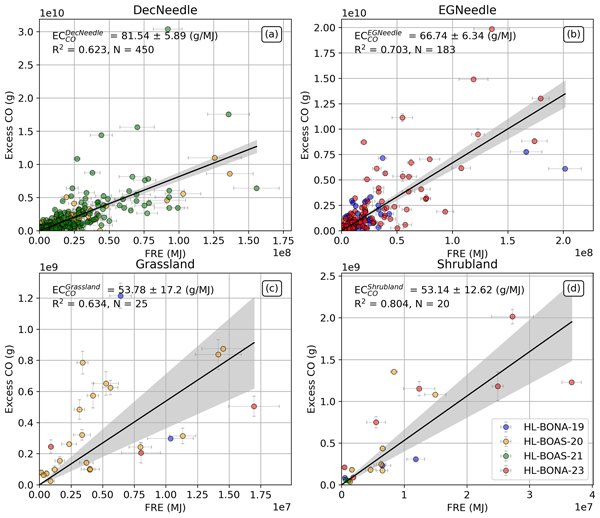
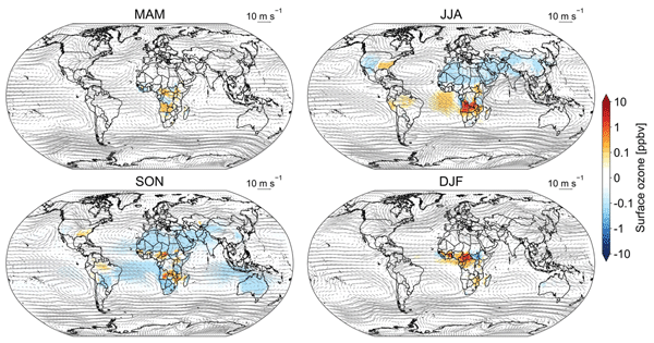
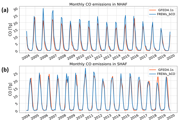
We examine the impact of diurnally varying African biomass burning (BB) emissions on tropospheric ozone using GEOS-Chem simulations with a high-resolution satellite-derived emission inventory. Compared to coarser temporal resolutions, incorporating diurnal variations leads to significant changes in surface ozone and atmospheric oxidation capacity. Our findings highlight the importance of accurately representing BB emission timing in chemical transport models to improve ozone predictions.